Understanding Changes in Flood Risk
Flood maps frequently change because of new land development and weather patterns. It’s important for insurance agents to know about National Flood Insurance Program (NFIP) flood map updates so you can explain to clients how their flood risks have changed.


When a policyholder's flood risk increases
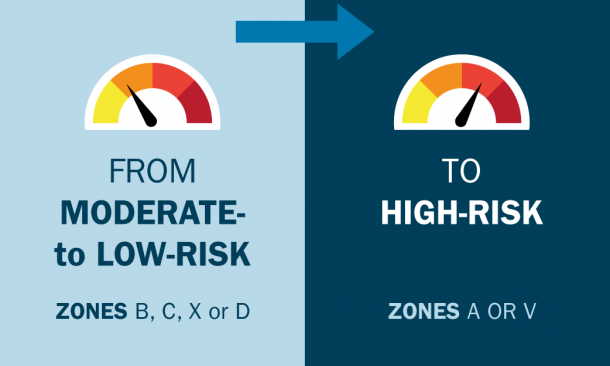
Clients newly identified as living in a high-risk flood area may qualify for the National Flood Insurance Program's (NFIP) cost-saving Newly Mapped discount. Under the NFIP's pricing methodology, discounts apply with gradual premium increases each year within limits set by Congress until the full-risk rate is reached. If the building is sold, the policy can transfer to the new owner, allowing them to keep the lower rate. Continuous coverage is required to maintain the discount.

When a policyholder's flood risk decreases
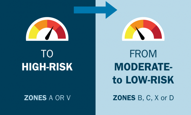
Low-risk properties continue to benefit from lower rates. The NFIP assesses risk using FEMA mapping, modeling tools and industry-standard catastrophe models. This allows for more accurate, structure-specific pricing.

Increasing risk from high- to higher-risk
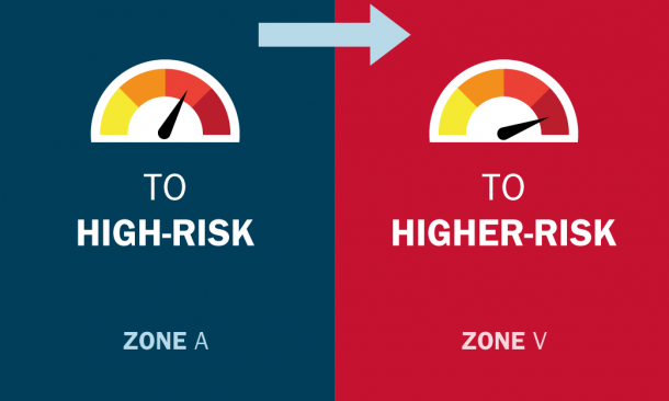
When a high-risk property moves to higher-risk, encourage clients to renew or purchase before a flood map update. They’ll secure a “grandfathered” rating, locking in a price based on their current lower-risk zone or lower base flood elevation.
Become an agent
Everyone lives in an area with some flood risk — it’s just a question of whether you live in a high-risk, low-risk or moderate-risk flood area.
Flood maps show a community’s flood risk. Flood zones are indicated in a community’s flood map.
High-risk flood areas, like Special Flood Hazard Areas (SFHA), are areas with the highest risk of flood. If a home is in a SFHA, having a flood insurance policy will be required if the property has a government-backed mortgage.
Moderate- to low-risk areas are areas that have a lower risk of flooding, insurance is usually optional, though still recommended.
Flood maps are used by the NFIP and FEMA to assess mandatory purchase requirements, building code requirements and floodplain management requirements. They also help communities understand their flood risk.
- Community officials use flood maps to assess and communicate local flood hazards.
- Lenders refer to flood maps to evaluate a property's flood risk and insurers use them to assess pricing.
- Builders and developers rely on them for safe construction planning.
- Real estate professionals use them to inform buyers and sellers.
Flood maps help communities, residents and business owners manage and mitigate flood risk, guide safer building and reduce future damage.
Flood hazards change over time due to new development, weather patterns or natural shifts in the land. FEMA updates flood maps using the latest data and technology to give a more accurate view of current flood risk, helping property owners and communities make informed decisions to stay protected.
If an owner feels their property is incorrectly mapped in a high-risk flood zone, they can apply online using the LOMC application and request a Letter of Map Amendment (LOMA) or a Letter of Map Revision (LOMR), or they can mail the application to LOMC CLEARINGHOUSE, 3601 Eisenhower Avenue, Suite 500, Alexandria, VA 22304-6426. An approved LOMC officially updates the FIRM.
Anyone can search, view and download flood maps from FEMA’s Map Service Center.
To speak with a flood map specialist, contact the FEMA Map Information eXchange (FMIX) at 877-336-2627 or by email or chat.
